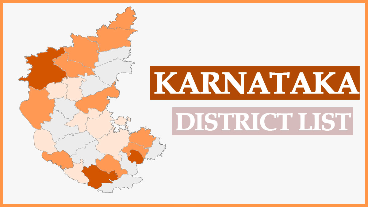
Karnataka District List 2025: Karnataka is a state in southwest India, known for its beautiful Arabian Sea coastlines. It is the largest state in South India, comprising 31 districts categorized into four administrative divisions. The most recent addition to these districts is Vijayanagara, which was officially recognized on November 18, 2020.
Karnataka was formed on November 1, 1956 (initially as Mysore State), and its capital is Bangalore. Covering an area of 191,791 square kilometers, Karnataka has a population of 61,130,704 and a literacy rate of approximately 75.36%. Below is the updated Karnataka District List for 2025.
| Name of State | Karnataka |
| Capital | Bangalore |
| Official Language | Kannada |
| Chief Minister | Basavaraj Bommai |
| Karnataka Cabinet Minister List | Click Here |
| Governor | Thawarchand Gehlot |
| State Symbols | State Animal - Indian Elephant State Bird - Indian Roller State Flower - Lotus State Song - Jaya Bharata Jananiya Tanujate State Tree - Sandalwood |
| Official Website | www.karnataka.gov.in |
Karnataka District List 2025
Karnataka state comprises 31 districts and is divided into four administrative divisions to effectively manage its principal regions:
- The coastal region (known as Karavalli).
- The hilly region of the Western Ghats (known as Malenadu).
- The elevated region of the Deccan Plateau (known as Bayalu Seeme).
Below is the comprehensive Karnataka District List:
| S.NO | District Name | Population (2011) | Area (km²) |
| 1 | Bagalkot | 1,890,826 | 6,583 |
| 2 | Ballari | 1,400,970 | 4,252 |
| 3 | Bangalore Rural | 987,257 | 2,239 |
| 4 | Bangalore Urban | 9,588,910 | 2,190 |
| 5 | Belgaum | 4,778,439 | 13,415 |
| 6 | Bidar | 1,700,018 | 5,448 |
| 7 | Bijapur | 2,175,102 | 10,517 |
| 8 | Chamarajanagara | 1,020,962 | 5,102 |
| 9 | Chikkaballapura | 1,254,377 | 4,208 |
| 10 | Chikmagalur | 1,137,753 | 7,201 |
| 11 | Chitradurga | 1,660,378 | 8,437 |
| 12 | Dakshina Kannada | 2,083,625 | 4,559 |
| 13 | Davanagere | 1,946,905 | 5,926 |
| 14 | Dharwad | 1,846,993 | 4,265 |
| 15 | Gadag | 1,065,235 | 4,651 |
| 16 | Gulbarga | 2,564,892 | 10,990 |
| 17 | Hassan | 1,776,221 | 6,814 |
| 18 | Haveri | 1,598,506 | 4,825 |
| 19 | Kodagu | 554,762 | 4,102 |
| 20 | Kolar | 1,540,231 | 4,012 |
| 21 | Koppal | 1,391,292 | 5,565 |
| 22 | Mandya | 1,808,680 | 4,961 |
| 23 | Mysore | 2,994,744 | 6,854 |
| 24 | Raichur | 1,924,773 | 6,839 |
| 25 | Ramanagara | 1,082,739 | 3,573 |
| 26 | Shimoga | 1,755,512 | 8,495 |
| 27 | Tumakuru | 2,681,449 | 10,598 |
| 28 | Udupi | 1,177,908 | 3,879 |
| 29 | Uttara Kannada | 1,353,299 | 10,291 |
| 30 | Vijayanagara | 1,353,628 | 5,644 |
| 31 | Yadgir | 1,172,985 | 5,225 |
For a detailed view of the Karnataka District Names and their respective Assembly Constituencies, please refer to the following link:
Karnataka Chief Electoral Officer
Smallest and Largest Districts in Karnataka by Area
Bangalore Urban District is the smallest district, while Belgaum District holds the title for the largest district in Karnataka.
Largest District (Belgaum) Area: 13,415 square kilometers.
Smallest District (Bangalore Urban) Area: 2,190 square kilometers.
Karnataka District Map
For additional information, please see the Karnataka IPS Officers List.

