
Maharashtra District List: Maharashtra is a state located in Western India. Established on May 1, 1960, it initially comprised 26 districts. Over time, 10 more districts have been added, bringing the total to 36. The state covers a total area of 3,07,713 square kilometers, which includes 2,98,619.45 square kilometers of rural area and 9,093.55 square kilometers of urban space.
Maharashtra is organized into 6 revenue divisions, which are further divided into 36 districts. These districts are then subdivided into 109 subdivisions and 357 talukas.
Diverse Districts of Maharashtra
Below is the list of districts in Maharashtra, along with their names, headquarters, areas, and populations.
| S. No. | Name of District | Area (sq km) | Population | Name of Head Quarters |
|---|---|---|---|---|
| 1 | Ahmednagar | 17,413 | 4,088,077 | Ahmednagar |
| 2 | Akola | 5,417 | 1,818,617 | Akola |
| 3 | Amravati | 12,626 | 2,606,063 | Amravati |
| 4 | Aurangabad | 10,100 | 2,897,013 | Aurangabad |
| 5 | Beed | 12,703 | 3,116,045 | Beed |
| 6 | Bhandara | 3,717 | 1,135,835 | Bhandara |
| 7 | Buldhana | 9,680 | 2,232,480 | Buldhana |
| 8 | Chandrapur | 10,695 | 2,071,101 | Chandrapur |
| 9 | Dhule | 8,063 | 1,707,947 | Dhule |
| 10 | Gadchiroli | 14,412 | 970,294 | Gadchiroli |
| 11 | Gondia | 4,843 | 1,200,151 | Gondia |
| 12 | Hingoli | 4,526 | 987,160 | Hingoli |
| 13 | Jalgaon | 11,765 | 3,679,936 | Jalgaon |
| 14 | Jalna | 7,612 | 1,612,357 | Jalna |
| 15 | Kolhapur | 7,685 | 3,515,413 | Kolhapur |
| 16 | Latur | 7,372 | 2,080,285 | Latur |
| 17 | Mumbai City | 67.7 | 3,326,837 | Mumbai |
| 18 | Mumbai Suburban | 369 | 8,587,000 | Bandra |
| 19 | Nagpur | 9,897 | 4,051,444 | Nagpur |
| 20 | Nanded | 10,422 | 2,876,259 | Nanded |
| 21 | Nandurbar | 5,035 | 1,309,135 | Nandurbar |
| 22 | Nashik | 15,530 | 4,993,796 | Nashik |
| 23 | Osmanabad | 7,512 | 1,486,586 | Osmanabad |
| 24 | Palghar | 5,344 | 2,990,116 | Palghar |
| 25 | Parbhani | 6,251 | 1,527,715 | Parbhani |
| 26 | Pune | 15,642 | 7,224,224 | Pune |
| 27 | Raigad | 7,148 | 2,207,929 | Alibag |
| 28 | Ratnagiri | 8,208 | 1,696,777 | Ratnagiri |
| 29 | Sangli | 8,578 | 2,583,524 | Sangli |
| 30 | Satara | 10,484 | 2,796,906 | Satara |
| 31 | Sindhudurg | 5,207 | 868,825 | Oros |
| 32 | Solapur | 14,845 | 3,849,543 | Solapur |
| 33 | Thane | 9,558 | 8,131,849 | Thane |
| 34 | Wardha | 6,310 | 1,230,640 | Wardha |
| 35 | Washim | 5,150 | 1,020,216 | Washim |
| 36 | Yavatmal | 13,584 | 2,077,144 | Yavatmal |
Largest and Smallest Districts in Maharashtra
Among the districts, Ahmednagar stands out as the largest, spanning an area of 17,413 square kilometers. In contrast, Mumbai City District is the smallest, covering an area of just 67.7 square kilometers.
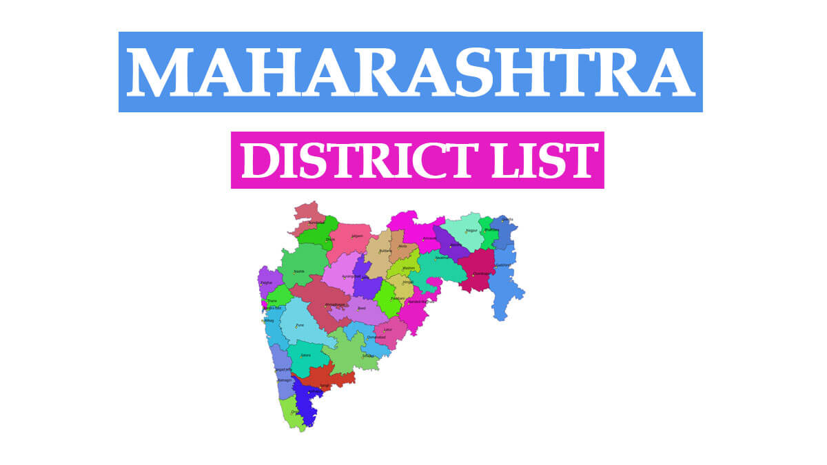
Maharashtra District Map
District List in Marathi
You can find the Maharashtra district list in Marathi along with the district map on the official website of the Maharashtra government: https://www.maharashtra.gov.in/1128/Districts.
Maharashtra District List PDF
To download the census data for Maharashtra districts, including population demographics, economic development, and educational statistics, please follow the link below:
Related Post: List of Maharashtra Chief Ministers 1960 to 2022 | महाराष्ट्राचे आतापर्यंतचे मुख्यमंत्री
न्यूज पोर्टल वर शेतकरी योजना,त्यांचे अपडेट, शासन निर्णय, जीआर अशा सर्व बाबींची माहिती येथे घेऊ शकता.