TSVC Merit List 2025 Maharshi Vedvyas Outsourcing Teaching Recruitment
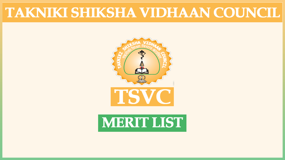
Check the latest TSVC Merit List for Maharshi Vedvyas Outsourcing Teaching Recruitment 2025. Find out how to check your name and details on vacancies, appointment letters, and updates.