Madhya Pradesh, located at 22.9734° N, 78.6569° E in central India, was formed on 1 November 1956. It shares borders with Uttar Pradesh to the north, Chhattisgarh to the east, Maharashtra to the south, and is bounded by Gujarat and Rajasthan to the west.
This state covers an area of 3,08,245 sq.km, making up 9.38% of India's geographical area, and it is the second largest state in India. The capital of Madhya Pradesh is Bhopal. The population of Madhya Pradesh is approximately 72,626,809, with a density of 240/km² and a literacy rate of 70.6%. Below is the list of districts in Madhya Pradesh.
Madhya Pradesh State Overview
| State Name | Madhya Pradesh |
| Formation Date | 1 November 1956 |
| Official Language | Hindi |
| Area | 3,08,245 sq.km |
| Population | 72,626,809 Urban - 20,059,666 Rural - 52,537,899 |
| Number of Districts | 52 |
| Madhya Pradesh District List | Click Here |
| Governor | Mangubhai C. Patel |
| Chief Minister | Shivraj Singh Chouhan |
| Symbols of MP | 1. State Bird - Indian Paradise Flycatcher 2. State Animal - Barasingha 3. State Flower - Palash 4. State Fruit - Mango 5. State Tree - Banyan Tree |
| Official Website | mp.gov.in |
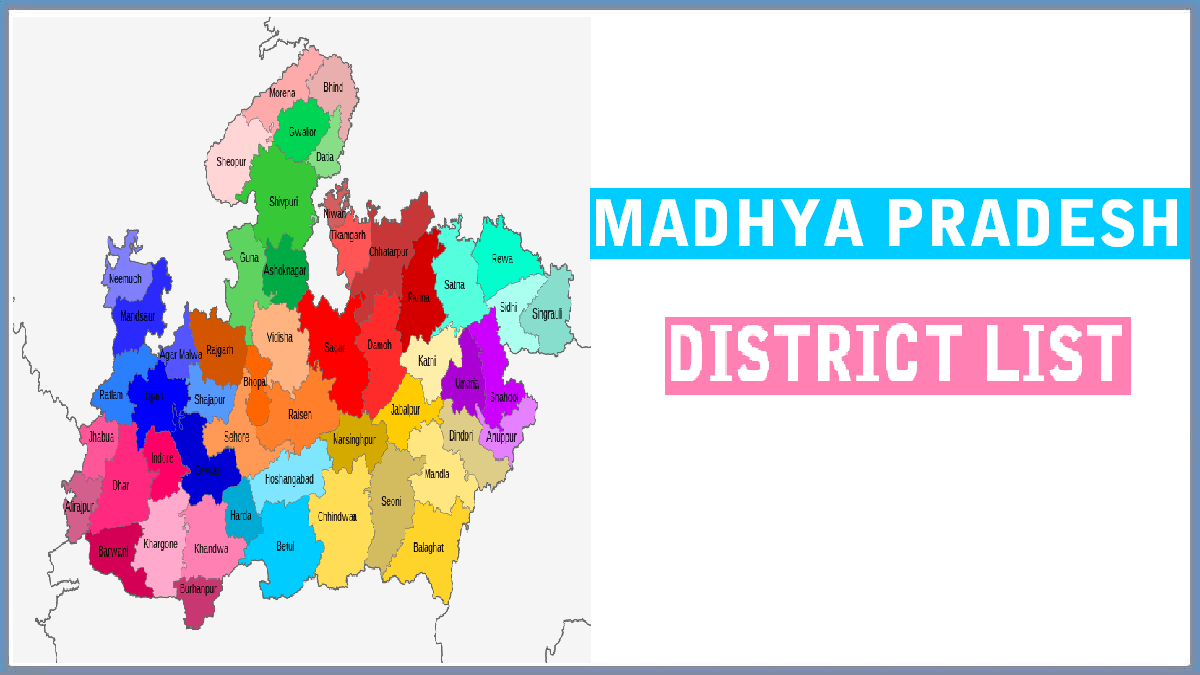
Madhya Pradesh District List 2025
Madhya Pradesh consists of a total of 52 districts organized into 10 administrative divisions. The city of Bhopal is the capital of the state. Below is a comprehensive list of the districts along with their area and population.
| S. No | District Name | Area (in Sq. Km) | Population | Division |
|---|---|---|---|---|
| 1 | Bhopal | 2,772 | 2,371,061 | Bhopal |
| 2 | Raisen | 8,446 | 1,331,597 | Bhopal |
| 3 | Rajgarh | 6,154 | 1,545,814 | Bhopal |
| 4 | Sehore | 6,578 | 1,311,332 | Bhopal |
| 5 | Vidisha | 7,371 | 1,458,875 | Bhopal |
| 6 | Morena | 4,991 | 1,965,970 | Chambal |
| 7 | Sheopur | 6,585 | 687,861 | Chambal |
| 8 | Bhind | 4,459 | 1,703,005 | Chambal |
| 9 | Gwalior | 5,214 | 2,032,036 | Gwalior |
| 10 | Ashoknagar | 4,674 | 845,071 | Gwalior |
| 11 | Shivpuri | 10,278 | 1,726,050 | Gwalior |
| 12 | Datia | 2,038 | 786,754 | Gwalior |
| 13 | Guna | 6,485 | 1,241,519 | Gwalior |
| 14 | Alirajpur | 3,182 | 728,999 | Indore |
| 15 | Barwani | 5,432 | 1,385,881 | Indore |
| 16 | Burhanpur | 2,473 | 757,847 | Indore |
| 17 | Indore | 3,898 | 3,276,697 | Indore |
| 18 | Dhar | 8,153 | 2,185,793 | Indore |
| 19 | Jhabua | 6,782 | 1,025,048 | Indore |
| 20 | Khandwa | 4,927 | 1,310,061 | Indore |
| 21 | Khargone | 4,927 | 1,873,046 | Indore |
| 22 | Balaghat | 9,229 | 1,701,698 | Jabalpur |
| 23 | Chhindwara | 11,815 | 2,090,922 | Jabalpur |
| 24 | Jabalpur | 5,210 | 2,463,289 | Jabalpur |
| 25 | Katni | 4,927 | 1,292,042 | Jabalpur |
| 26 | Mandla | 5,805 | 1,054,905 | Jabalpur |
| 27 | Narsinghpur | 5,133 | 1,091,854 | Jabalpur |
| 28 | Seoni | 8,758 | 1,379,131 | Jabalpur |
| 29 | Dindori | 7,427 | 704,524 | Jabalpur |
| 30 | Betul | 10,043 | 1,575,362 | Narmadapuram |
| 31 | Harda | 3,339 | 570,465 | Narmadapuram |
| 32 | Narmadapuram | 6,698 | 1,241,350 | Narmadapuram |
| 33 | Rewa | 6,434 | 2,365,106 | Rewa |
| 34 | Satna | 7,502 | 2,228,935 | Rewa |
| 35 | Sidhi | 4,851 | 1,127,033 | Rewa |
| 36 | Singrauli | 5,672 | 1,178,273 | Rewa |
| 37 | Chhatarpur | 8,687 | 1,762,375 | Sagar |
| 38 | Damoh | 7,306 | 1,264,219 | Sagar |
| 49 | Panna | 7,135 | 1,016,520 | Sagar |
| 40 | Sagar | 10,252 | 2,378,458 | Sagar |
| 41 | Tikamgarh | 3,878 | 1,040,359 | Sagar |
| 42 | Niwari | 1,170 | 404,807 | Sagar |
| 43 | Anuppur | 3,746 | 749,237 | Shahdol |
| 44 | Shahdol | 6,205 | 1,066,063 | Shahdol |
| 45 | Umaria | 4,026 | 644,758 | Shahdol |
| 46 | Agar Malwa | 2,785 | 571,275 | Ujjain |
| 47 | Dewas | 7,020 | 1,563,715 | Ujjain |
| 48 | Mandsaur | 5,530 | 1,340,411 | Ujjain |
| 49 | Neemuch | 4,267 | 826,067 | Ujjain |
| 50 | Ratlam | 4,861 | 1,455,069 | Ujjain |
| 51 | Shajapur | 3,460 | 941,403 | Ujjain |
| 52 | Ujjain | 6,091 | 1,986,864 | Ujjain |
For further information, you can also view the Madhya Pradesh CEO Voter List (PDF Electoral Roll) 2022 | Download MP Voters ID Card.